This picturesque 580 metre Side Trail proceeds in an east-west direction, following a forested valley that dips just south of the main Bruce Trail.
The name of this Side Trail refers to the rich geological history of this part of Ontario. 20,000 years ago, much of North America, including Southern Ontario, was covered by the Laurentide Ice Sheet – 1 km thick! The ice was always moving, grinding away at the landscape, creating the ridges and valleys that we see today.
About 12,000 years ago the current Interglacial period started with its warmer climate – the ice sheet melted and spruce trees moved in. At the same time, indigenous peoples entered southern Ontario, probably following the edge of the retreating Laurentide Ice Sheet. The intellectual traditions of Indigenous people acknowledged the mutual relationship binding humans to nature.
As a result of rapid post-glacial warming, the boreal forest began to be replaced by a mixed forest of pine, hemlock and beech – the descendants of which you see today.
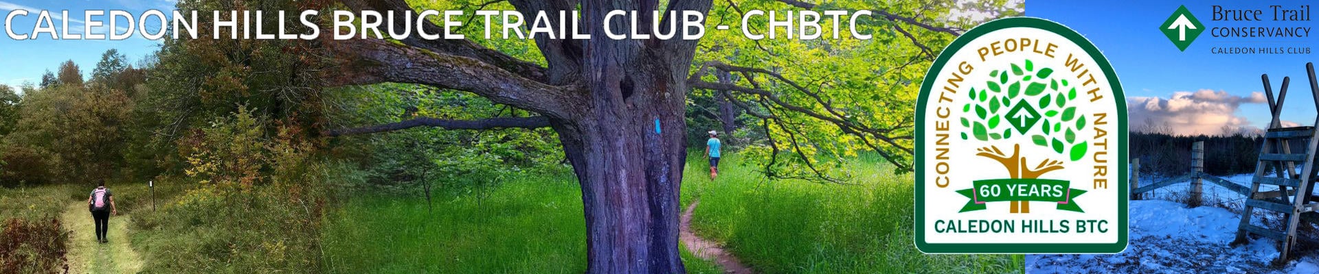
One of the highlights on the Glacier Valley Side Trail is the large, old maple tree spreading its branches on the edge of this Side Trail – not far from the eastern junction of the Side Trail with the main Bruce Trail. Bruce Trail Conservancy ecologists have identified this maple as older than Canada’s confederation in 1867! Don’t miss the marker for this long-living tree.
You can use this Side Trail to hike a 1.3 km loop, combining with the main trail, or, a 2.1 km loop combining with sections of the main trail, the southern leg of the Hockley Heights Side Trail and the Hemlock Ridges Side Trail. (The steep-sided ridge of the Hemlock Ridge Side Trail was created by glacial meltwater depositing sediment.)

